Joint Press Release-WALHI Java Region
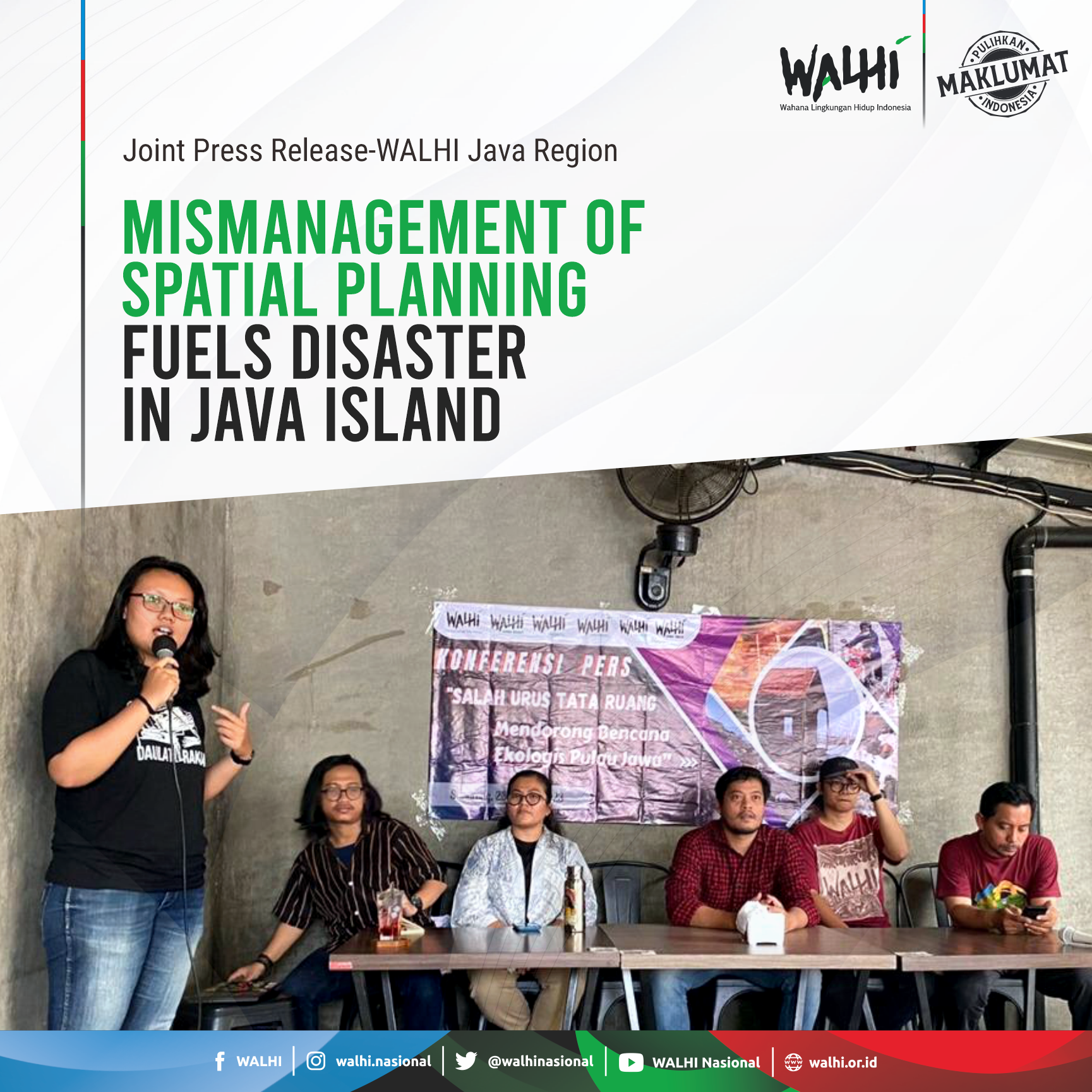
Press conference of WALHI Java regions in Semarang, Central Java
Semarang, January 23 2023–Several points on Java Island had numerous disaster occurrences, particularly hydrometeorological disasters, between the end of 2022 and the beginning of 2023. People felt the impact of the calamity from the western to the eastern point of Java Island, including the major cities. Java Island was impacted by 1839 occurrences in 2022, accounting for 51.8 percent of the total 3545 national catastrophe incidents. The high number of disasters on Java Island is caused by a combination of natural forces, mismanagement of spatial planning, mega-infrastructure, and the political economics of spatial control. Walhi distinguishes the calamity that struck Java as an ecological disaster, based on all of its impact factors.
Walhi Region Java recorded a number of instances that illustrate the magnitude of the impact of natural disasters on the island of Java, particularly in major cities such as Jakarta, Bandung, Yogyakarta, Semarang, and Surabaya. Floods dominate Java's natural disasters, including floods caused by torrential rains and tidal floods in the island's coastal districts. Floods and other natural catastrophes are exacerbated by spatial planning disarray, which has ramifications for increasing the conversion of protected areas such as water catchment areas from upstream to downstream watersheds (DAS), resulting in ecological harm. The carrying capacity and environmental capability of Java Island are approaching ecological bankruptcy.
Walhi DKI Jakarta noted that flooding in Jakarta occurs every year and the situation is getting worse. At the end of 2022 there were severe floods in the South Jakarta and East Jakarta areas. The main problem with flooding in Jakarta is spatial planning that still accommodates large-scale development in water catchment areas. There is also the mismanagement of the arrangement of the Ciliwung River (Jakarta's largest watershed) with the concreting project to the issue of privatization of empty space by a number of large corporations. While on the other hand, fulfillment of Jakarta's Green Open Space (RTH) in quantity was also stagnant at 9 percent. As a result, floods are increasingly widespread, causing fatalities, and increasing the vulnerability of residents' lives.
While Walhi West Java highlighted the problem of disasters, especially flooding in the Bandung basin area which was caused by spatial planning chaos for a handful of people. This problem was triggered by the conversion of the function of the upstream area and sustainable food agricultural land to other uses such as luxury housing. The loss of water catchment and absorption areas causes increased vulnerability to disasters such as floods and landslides. Massive land conversion in Bandung has not only encouraged disasters, but has also reduced the quantity and quality of residents' raw water sources. Walhi West Java noted that there are more than one million residents of the city of Bandung who have not received standard water from the government. The situation will get worse with the diminishing water sources due to the massive infrastructure development in the buffer zones.
A similar concern was brought up by Walhi Central Java. Mismanagement of spatial planning has an influence on lowering carrying capacity and environmental capacity, causing floods and landslides in the City of Semarang and around 15 other urban districts in Central Java to occur almost simultaneously. Over the last 30 years, there has been a dramatic change in land use in the city of Semarang. The upper area of Semarang, which serves as a buffer zone, has been transformed into residential, educational, and commercial zones. While the lower sections, particularly the coast, suffered ecosystem devastation as a result of mangrove conversion and large reclamation operations for industry and luxury residences.
Walhi Yogyakarta sees that the problem of spatial mismanagement does not only occur in urban areas, but spreads to suburban areas, such as the ambition to build a new urban area, Aeropolis Kulon Progo. New urban mega-projects have increased the vulnerability of the region, especially since the project is built in an area prone to disasters such as earthquakes and tsunamis. Aeropolis' ambition sparked the emergence of the Bener Dam National Strategic Project (PSN) which seized the living space of residents in other areas such as Wadas village. The project was built to meet the water sources at the NYIA Aeropolis (New Yogyakarta International Airport). This contradicts the water crisis situation in the city of Yogyakarta caused by groundwater extraction by the tourism industry, especially hotels. In the Gunung Kidul area, the Gunung Sewu Karst Landscape Area (KBAK), which is a water protected area, will actually be reduced for the sake of tourism needs. Worse, the closest water source was removed, then looking for water sources in other areas, but the method was exploitative so that it damaged it.
Finally, Walhi East Java revealed that East Java's spatial mismanagement problem caused vulnerabilities in the upstream and downstream areas. In the upstream area of the Brantas watershed, namely Batu City, spatial planning is quite disorganized. Protected areas are converted into hotels, artificial tourism and other uses. The development leads to floods, landslides and eliminates water sources. Damage to these ecosystems in the upstream region threatens downstream areas such as Malang, Pasuruan to Surabaya areas. The increase in the occurrence of hydrometeorological disasters combined with chaotic spatial planning, such as construction on river banks, conversion of area functions to the lack of green open space, makes the condition of Malang City even worse. Meanwhile in Surabaya the expansion of luxury residences to suburban areas such as West and East Surabaya by large corporations has caused water catchment areas to disappear such as the conversion of reservoirs and mangroves. An increase in the incidence of disasters and an increase in the vulnerability of cities results in an increase in the impact and an expansion of the area affected by disasters.
The primary cause of the crisis in five regions of Java is spatial mismanagement. Walhi believes the problem of ecological disaster as a result of spatial planning mismanagement caused by government policies that support massive investments, such as mega infrastructure projects, expansion of industrial areas, to large-scale extractive industry permit sales such as mining, which have increased the vulnerability of Java Island. The government's spatial planning and development policies disregard warnings from different scientific studies on the possibility of water crises, disaster vulnerability, and the threat of climate change impacts on land subsidence in Java.
Walhi encourages the central and regional governments to take the issue of ecological disasters in Java seriously by evaluating environmental planning and spatial planning by ensuring people's safety. Mega infrastructure developments such as PSN must be critically reviewed in view of changes in the function of protected areas, disaster-prone areas to the social situation of the community. Approaches to disaster management and disaster technical solutions are insufficient to solve the problem.Protecting buffer zones, rehabilitating damaged landscapes, and halting extractive operations are all ways to reduce the risk of future ecological disasters.
Contact person:
Wahyu Eka (WALHI Jawa Timur) +62 821-4583-5417
Fahmi Bastian (WALHI Jawa Tengah) +62 857-3737-1848
Halik Sandera (WALHI Yogyakarta) +62 852-2838-0002
Haerudin Inas (WALHI Jawa Barat) +62 877-6063-0674
Suci F. Tanjung (WALHI Jakarta) +62 856-1111-356
Abdul Ghofar (WALHI Nasional) +62 821-1200-1871